Elevation 3,083 m | ||
 | ||
Parent range | ||
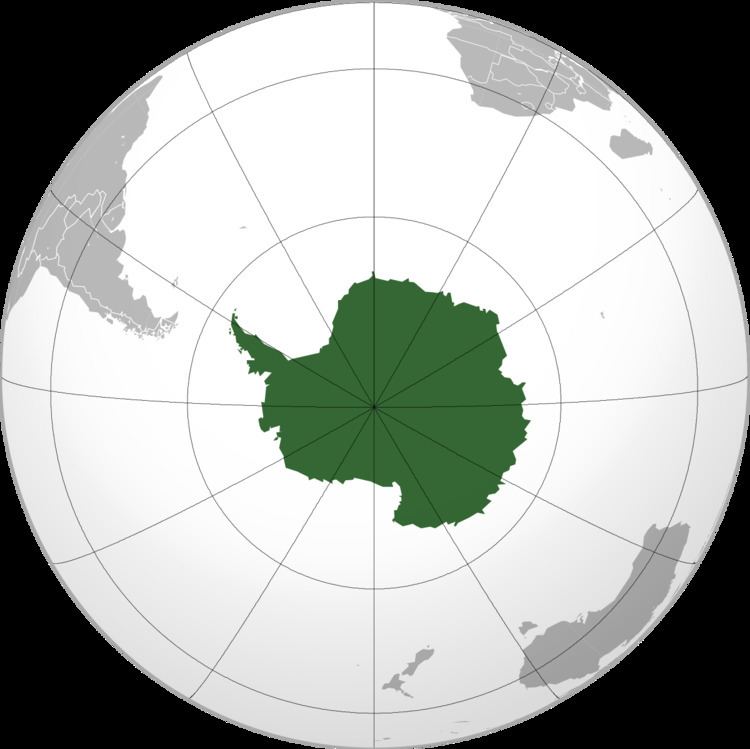
Kyrkjeskipet Peak is a peak in Antarctica just north of Kapellet Canyon that dominates the northeastern part of Jøkulkyrkja Mountain in the Mühlig-Hofmann Mountains of Antarctica. It was mapped from surveys and air photos by the Sixth Norwegian Antarctic Expedition (1956–60) and named Kyrkjeskipet (the church nave).
Map of Kyrkjeskipet Peak, Antarctica
References
Kyrkjeskipet Peak Wikipedia(Text) CC BY-SA
