
Population 212 (2006 census) County Wynyard Elevation 309 m Local time Monday 12:49 AM | Postcode(s) 2650 Postal code 2650 | |
 | ||
Location 23 km (14 mi) from Tarcutta16 km (10 mi) from Humula Weather 24°C, Wind E at 16 km/h, 69% Humidity | ||
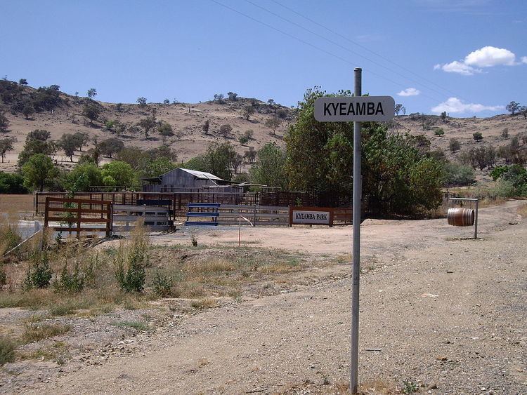
Kyeamba is a farming community in the central east part of the Riverina and situated about 16 kilometres (9.9 mi) north west from Humula and 23 kilometres (14 mi) south west from Tarcutta. At the 2006 census, Kyeamba had a population of 212.
Contents
Map of Kyeamba NSW 2650, Australia
Location and features
The town's name is derived from an aboriginal word for "forehead band".
Kyeamba is situated in the vicinity of the Alfredtown to Kyeamba Road where it meets the Hume Highway. There are no stores or significant public buildings in the area.
Kyamba Telegraph Office opened on 1 September 1861. This later became a Post Office, was renamed Kyeamba in 1917 and closed in 1957.
References
Kyeamba, New South Wales Wikipedia(Text) CC BY-SA