
- elevation 302 ft (92 m) Source Kuzitrin Lake | - elevation 7 ft (2 m) | |
 | ||
- location 30 miles (48 km) southeast of Teller | ||
The Kuzitrin River is a stream, 95 miles (153 km) long, on the Seward Peninsula in the U.S. state of Alaska. It begins at Kuzitrin Lake in the central region of the peninsula and flows 95 miles (153 km) west into the Imuruk Basin. The basin drains via the bay of Port Clarence to the Bering Sea. Kuzitrin tributaries include the Noxapaga, Kougarok, Kruzgamepa (Pilgrim), and Kugruk rivers.
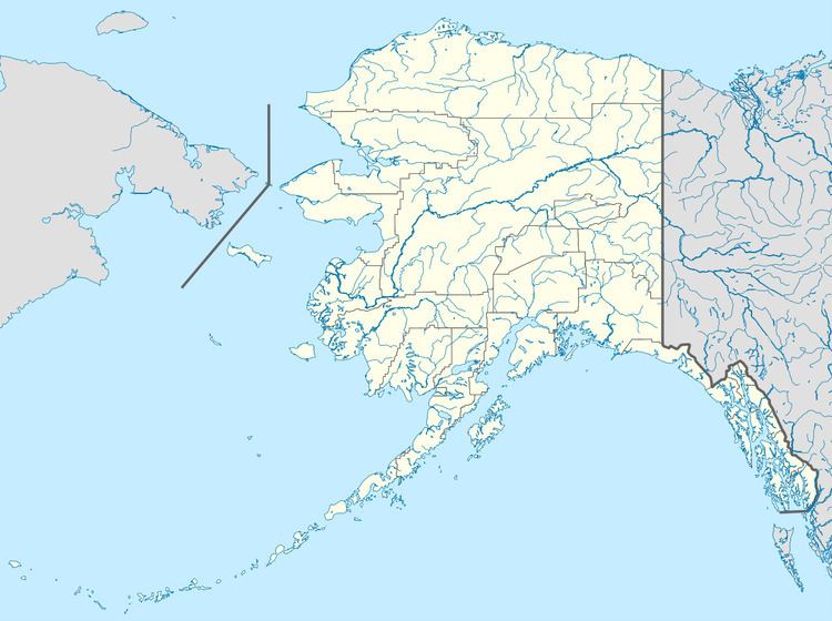
Map of Kuzitrin River, Alaska, USA
The river's name, from the Inuit, was recorded in 1900 by the United States Geological Survey. The United States Board on Geographic Names officially adopted the name in 1950.
There is one former village site on the lower Kuzitrin, at Mary's Igloo. The village is abandoned but is still used for subsistence activities by people from the nearby village of Teller.