
Population 9,228 (2011 census) LGA(s) City of Melton Kurunjang Melton Federal division Division of Gorton | Postcode(s) 3337 State electorate(s) Melton Postal code 3337 | |
 | ||
Location 40 km (25 mi) from Melbourne
2 km (1 mi) from Melton | ||
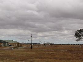
Kurunjang is a suburb of Melbourne, Victoria, Australia, 40 km west of Melbourne's Central Business District. Its local government area is the City of Melton. At the 2011 Census, Kurunjang had a population of 9,228.
Map of Kurunjang VIC 3337, Australia
It is a primarily residential suburb which contains three schools; Kurunjang Primary School (P-6), Kurunjang Secondary College (7-12) and Mowbray College, a private P-12 school, as well as creekside reserves along Little Blind Creek and Toolern Creek.
References
Kurunjang, Victoria Wikipedia(Text) CC BY-SA