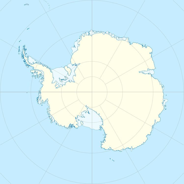
Location Antarctica | Population Uninhabited | |
 | ||
Kurumi Island is an island lying between Ongulkalven Island and Ongul Island in Lützow-Holm Bay, Antarctica. It was mapped by Norwegian cartographers from air photos taken by the Lars Christensen Expedition, 1936–37, was surveyed by the Japanese Antarctic Research Expedition, 1957–62, and named Kurumi-shima (walnut island) because of its configuration.
References
Kurumi Island Wikipedia(Text) CC BY-SA
