
District Třebíč Elevation 334 m Population 176 (2006) | Postal code 675 75 Area 8.55 km² | |
 | ||
Website | ||
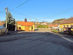
Kuroslepy is a village and municipality (obec) in Třebíč District in the Vysočina Region of the Czech Republic.
Map of 675 75 Kuroslepy, Czechia
The municipality covers an area of 8.55 square kilometres (3.30 sq mi), and has a population of 176 (as at 3 July 2006).
Kuroslepy lies approximately 26 kilometres (16 mi) east of Třebíč, 53 km (33 mi) south-east of Jihlava, and 166 km (103 mi) south-east of Prague.
References
Kuroslepy Wikipedia(Text) CC BY-SA