
 | ||
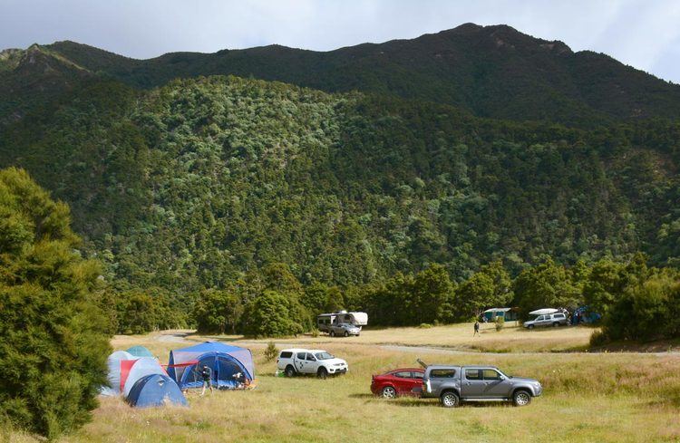
Kuripapango is a locality in the Hawke's Bay region of New Zealand, situated 76.6 km from Napier and 78.6 km from Taihape. It is on the Napier-Taihape Road more known as the Gentle Annie which rises to 3,200 feet (980 m) at its peak. In the early days Kuripapango was a health resort with stores, two hotels and a weekly mail run. Both hotels ended up burning down and Kuripapango fell into decline. Today it is a popular tramping and kayaking area. The name Kuripapango means "spotty dog" in the Māori language.
Map of Kuripapango 4179, New Zealand
References
Kuripapango Wikipedia(Text) CC BY-SA