
Country Bosnia and Herzegovina Time zone CET (UTC+1) Local time Sunday 4:06 AM | Entity Republika Srpska Area 89 km² Area code 50 | |
 | ||
Weather 0°C, Wind SE at 6 km/h, 80% Humidity | ||
Kupres (Serbian Cyrillic: Купрес), also known as Kupres Republike Srpske (Купрес Републике Српске), is a municipality in western Bosnia and Herzegovina. It is situated in the western part of the Republika Srpska entity, bordering the region of Bosanska Krajina to the north. It is one of the most undeveloped and poorest municipalities in Bosnia and Herzegovina.
Contents
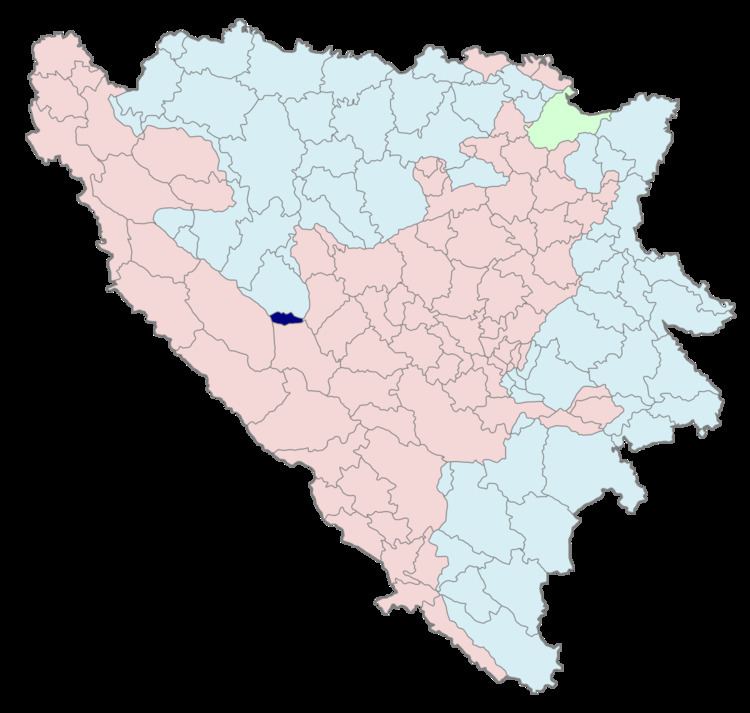
Map of Kupres, Bosnia and Herzegovina
History
The municipality was formed after the formation of the two entities of Federation of Bosnia and Herzegovina and Republika Srpska which together comprise the sovereign state of Bosnia and Herzegovina. The creation of the two entities split the original municipality of Kupres in two, one municipality in Federation of Bosnia and Herzegovina and the other in Republika Srpska. During the war the municipality name was changed to Srpski Kupres (Српски Купрес), but since then the Government of Bosnia and Herzegovina has forbidden the use of that name in order to avoid nationalistic sentiment.