
Postcode(s) 2460 Postal code 2460 | Local time Sunday 11:55 AM | |
 | ||
Weather 26°C, Wind NW at 8 km/h, 78% Humidity | ||
Kungala stephen leek
Kungala is a locality south of Grafton in northern New South Wales, Australia. The North Coast railway passes through, and a railway station and sidings were provided from 1915 to 1974. At the 2006 census, Kungala had a population of 205 people. The town's name is derived from an aboriginal term meaning "to shout and listen".
Contents
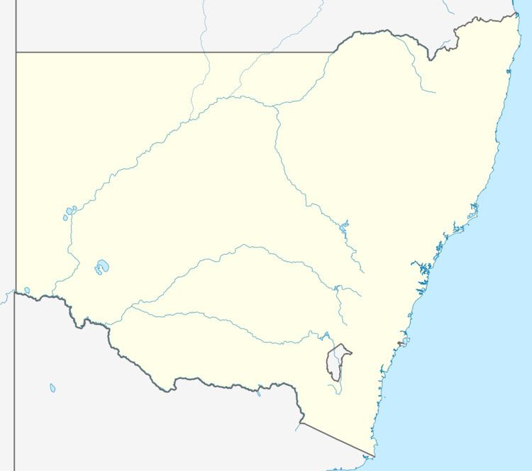
Map of Kungala NSW 2460, Australia
References
Kungala, New South Wales Wikipedia(Text) CC BY-SA