
Coat of arms Flag selsoviet 9 Area 3,142 km² | Administrative center selo of Kunashak Rural localities 73 Founded 1930 | |
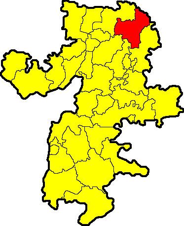 | ||
Kunashaksky District (Russian: Кунашакский райо́н) is an administrative and municipal district (raion), one of the twenty-seven in Chelyabinsk Oblast, Russia. It is located in the northeast of the oblast. The area of the district is 3,280 square kilometers (1,270 sq mi). Its administrative center is the rural locality (a selo) of Kunashak. Population: 30,112 (2010 Census); 32,225 (2002 Census); 35,167 (1989 Census). The population of Kunashak accounts for 20.9% of the district's total population.
Map of Kunashaksky District, Chelyabinsk Oblast, Russia
The district was part of the Bashkir Autonomous Socialist Soviet Republic until January 1934, and together with neighboring Argayashsky District, formed the exclave Argayash Canton. The two districts were added to Chelyabinsk Oblast as the Argayash National Okrug, which itself only survived until November 1934.