
Length 483 km Mouth Walvis Bay | ||
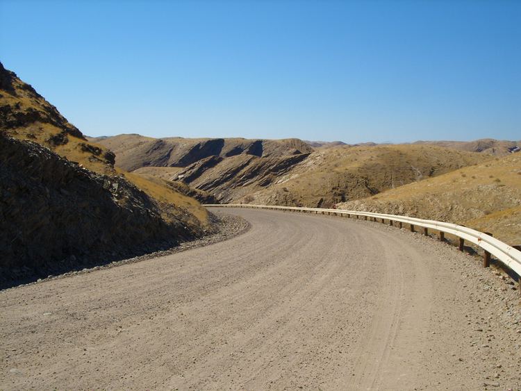 | ||
The Kuiseb River in Namibia flows from the Khomas highlands west of Windhoek to Walvis Bay. The Kuiseb is an ephemeral river with a mean run-off of roughly 20 million cubic metres per annum (710×10^6 cu ft/a).
Map of Kuiseb River, Namibia
It is bordered on one side by some of the tallest sand dunes in the world, and on the other by barren rock. The red sand dunes south of the river reach heights over 150 meters. The prevailing winds blow the dunes northward, but their movement is blocked by the river. In the process, so much sand and silt is deposited in the Kuiseb that it only reaches the sea while it is in flood. Friedenau Dam, built in 1972, is located on the river.
References
Kuiseb River Wikipedia(Text) CC BY-SA