
Isolation 75 kilometres (47 mi) Location Afghanistan Elevation 6,812 m Prominence 2,834 m | Listing Ultra First ascent 1960 | |
 | ||
Similar Saraghrar, Noshaq, Buni Zom, Istor‑o‑Nal, Mount Sikaram | ||
Kuh-e Bandaka (Pashto: کوه بندکا) or Kohe Bandaka, Koh-i Bandaka, Bandako, or incorrectly Koh-i-Bandakor) is one of the highest peaks of the Hindu Kush mountain range in northeastern Afghanistan. It is northeast of Kabul and west of Chitral. Separated by a relatively low pass from the core of the Hindu Kush, it is the highest mountain entirely within Afghanistan, and the most topographically prominent peak in all of Afghanistan.
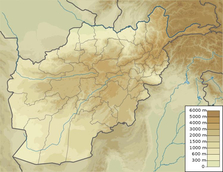
Map of Kuh-e Bandaka, Afghanistan
On September 22, 1960, the second German expedition to visit the Hindu Kush made the first ascent of Kuh-e Bandaka. The members of the expedition were Wolfgang von Hansemann, Dietrich Hasse, Siegbert Heine, and Johannes Winkler, all from West Berlin; all attained the summit. They made four camps, with their base camp in the Dare-Sachi Valley at an altitude of 4,100 m (13,451 ft). The expedition also made multiple first ascents in the Pagar Valley of the Hindu Kush, and made meteorological and geological observations and sketch maps.
There have been over fifteen subsequent ascents, via a variety of routes; however there have been no recorded ascents since 1977.