
Basin size 2,480 km (960 sq mi) Mouth Sviyaga River | Length 176 km Country Russia | |
 | ||
Main source Chuvash Republic, Russia River mouth Sviyaga River,near Burunduki, Tatarstan | ||
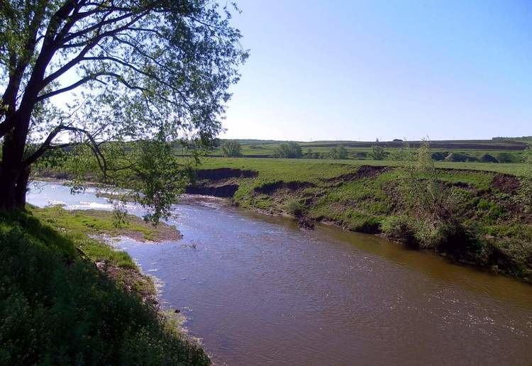
The Kubnya (Russian: Кубня, Chuvash: Кĕтне, Tatar: Гөбенә, Göbenä) is a river in Chuvashia and Tatarstan, Russian Federation, a left-bank tributary of the Sviyaga River. It is 176 kilometres (109 mi) long, of which 121 kilometres (75 mi) are in Tatarstan, and its drainage basin covers 2,480 square kilometres (960 sq mi). It begins in Chuvashia and flows to the Sviyaga River 4 kilometres (2.5 mi) south of Burunduki.
Map of r. Kubnya, Chuvashia Republic, Russia
A major tributary is the Uryum River. The maximal mineralization is 500-800 mg/l. The average sediment deposition at the river mouth per year is 92 millimetres (3.6 in). The maximal water discharge is 420 cubic metres per second (15,000 cu ft/s). Drainage is regulated. Since 1978 it is protected as a natural monument of Tatarstan.