
Gmina Krzywiń Lowest elevation 67 m (220 ft) Area 167 ha Local time Saturday 3:51 PM | Highest elevation 75 m (246 ft) Postal code 64-010 Population 1,547 (2006) | |
 | ||
Weather 9°C, Wind W at 40 km/h, 74% Humidity Voivodeship | ||
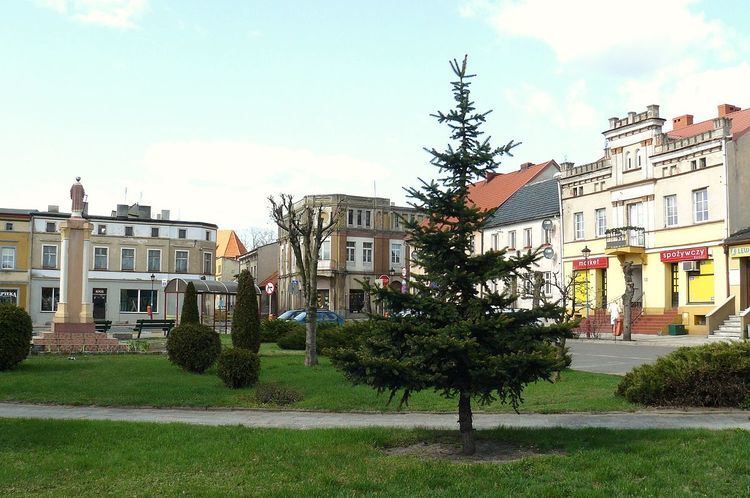
Krzywiń [ˈkʂɨvʲiɲ] (German: Kriewen) is a small town in the centre of Poland in the Kościan County, Greater Poland Voivodeship, located at the Obra canal.
Map of Krzywi%C5%84, Poland
Krzywiń was first referred to in scripts as Crivin in 1181. But it was not until 1237 that the area's reputation grew as a prominent marketplace. It was then that it was referred to as a town. Incorporation of the town followed in 1257.
There are three schools in Krzywiń. There is a primary school, a junior high school and a high school.
References
Krzywiń Wikipedia(Text) CC BY-SA