
Country Ukraine District Yasynuvata Raion Time zone EET (UTC+2) Area 93 ha | Province Donetsk Oblast Elevation 209 m (686 ft) Postal code 86005 Local time Saturday 3:16 PM | |
 | ||
Weather 6°C, Wind SE at 13 km/h, 65% Humidity | ||
Kruta Balka (Ukrainian: Крута Балка; Russian: Крутая Балка) is a settlement in Yasynuvata Raion (district) in Donetsk Oblast of eastern Ukraine, at 17.2 km NNE from the centre of Donetsk city.
Contents
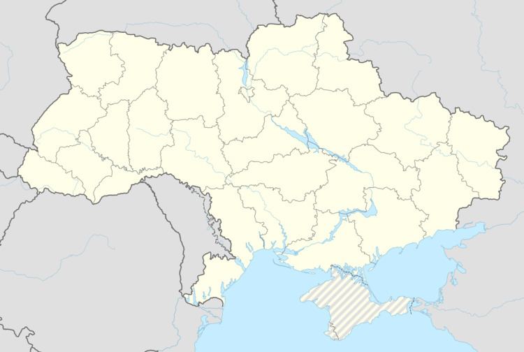
Map of Kruta Balka, Donetska, Ukraine
The settlement was taken under control of pro-Russian forces during the War in Donbass, that started in mid-April 2014.
Demographics
Native language as of the Ukrainian Census of 2001:
References
Kruta Balka, Yasynuvata Raion Wikipedia(Text) CC BY-SA