
District Třebíč Elevation 426 m Local time Saturday 4:52 AM | Postal code 675 77 Area 4.95 km² | |
 | ||
Weather 4°C, Wind SW at 10 km/h, 91% Humidity | ||
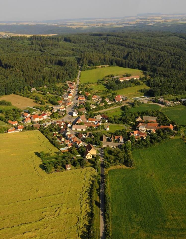
Kramolín is a village and municipality (obec) in Třebíč District in the Vysočina Region of the Czech Republic.
Map of 675 77 Kramol%C3%ADn, Czechia
The municipality covers an area of 4.95 square kilometres (1.91 sq mi), and has a population of 116 (as at 3 July 2006).
Kramolín lies on the shore of Dalešice Reservoir, approximately 21 kilometres (13 mi) south-east of Třebíč, 49 kilometres (30 mi) south-east of Jihlava, and 163 kilometres (101 mi) south-east of Prague.
References
Kramolín (Třebíč District) Wikipedia(Text) CC BY-SA