
Country United States County San Bernardino Zip code 93516 Area code 760 | State California Time zone PST Local time Friday 8:40 PM | |
 | ||
Weather 21°C, Wind SW at 11 km/h, 35% Humidity | ||
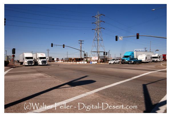
Kramer Junction (also known as "Four Corners") is an unincorporated community in San Bernardino County, California. Kramer Junction is located in the Mojave Desert at the intersection of U.S. Route 395 and State Route 58, 2.3 miles (3.7 km) east of Kramer. As of the 2000 census, Kramer Junction had a total population of 2,231.
Map of Kramer Junction, CA 93516, USA
Solar Energy Generating Systems sites SEGS III-VII are located less than a mile to the northwest.
The United States Air Force once maintained a communications relay station east of Kramer Junction at Hawes airfield, known as the Hawes Radio Tower, that had an antenna tower in excess of 1,200 feet tall. This tower was removed in the 1980s.
References
Kramer Junction, California Wikipedia(Text) CC BY-SA