
Gmina Kowale Oleckie Local time Saturday 12:01 AM | Population 2,400 | |
 | ||
Weather 2°C, Wind W at 14 km/h, 90% Humidity Voivodeship Warmian-Masurian Voivodeship | ||
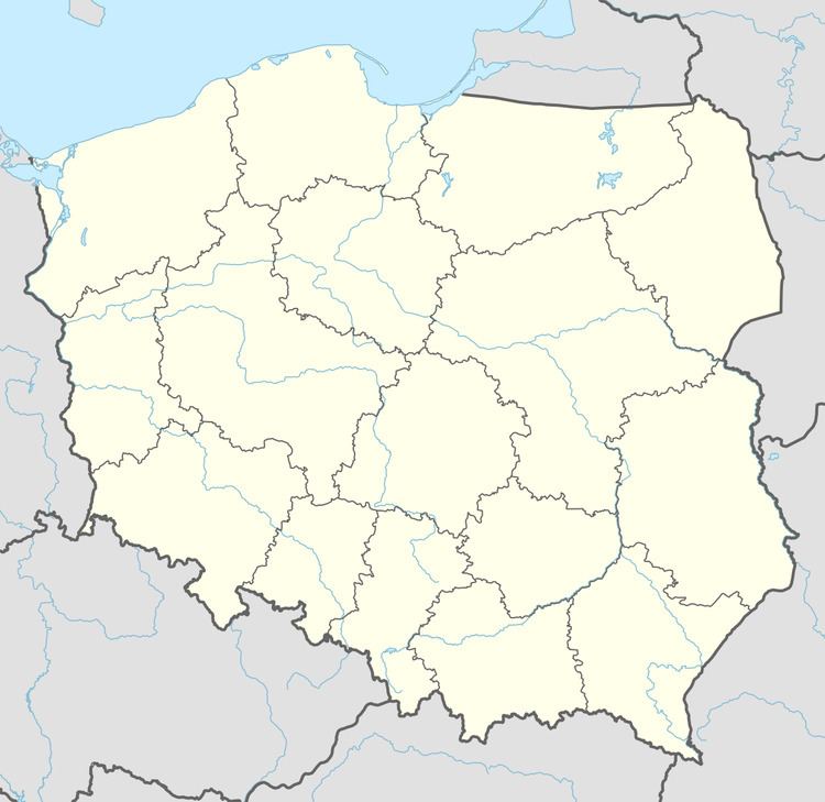
Kowale Oleckie [kɔˈvalɛ ɔˈlɛt͡skʲɛ] (German: Kowahlen, from 1938-45 Reimannswalde) is a village in Olecko County, Warmian-Masurian Voivodeship, in northern Poland. It is the seat of the gmina (administrative district) called Gmina Kowale Oleckie. It lies approximately 16 kilometres (10 mi) north of Olecko and 133 km (83 mi) east of the regional capital Olsztyn.
Map of Kowale Oleckie, Poland
Before 1945, the area was part of Germany (East Prussia). After World War II the region was placed under Polish administration and ethnically cleansed according to the post-war Potsdam Agreement. The native German populace was expelled and replaced with Poles.
The village has a population of 2,400.
References
Kowale Oleckie Wikipedia(Text) CC BY-SA