
Country India District Nellore PIN 524137 Elevation 15 m Local time Saturday 4:22 AM | State Andhra Pradesh Time zone IST (UTC+5:30) Telephone code 08622 Population 48,512 (2011) Area code 08622 | |
 | ||
Weather 27°C, Wind S at 8 km/h, 80% Humidity Neighborhoods Swarnandhra Street, Shanthi Nagar, Gamallapalem, PRR Colony, Sanjay Nagar | ||
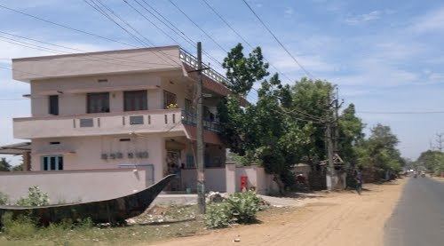
Kovur is a census town and Mandal headquarters in Nellore district in the Indian state of Andhra Pradesh.
Contents
- Map of Kovur Andhra Pradesh 524137
- Geography
- Demographics
- Assembly constituency
- Elected members
- References
Map of Kovur, Andhra Pradesh 524137
Geography
Kovur is located at 14.4833°N 79.9833°E / 14.4833; 79.9833. It has an average elevation of 15 meters (52 feet).
Demographics
As of 2011 India census, had a population of 48,512. Males constitute 52.6.7% of the population and females 47.4%. Kovur has an average literacy rate of 79%, higher than the national average of 68.7%: male literacy is 82.14%, and female literacy is 78.11%.
Assembly constituency
Kovur is an assembly constituency in Andhra Pradesh and biggest in Nellore District. There are 2,53,095 registered voters in Kovur constituency in 2009 elections.
Elected members
List of elected members:
References
Kovur, Nellore Wikipedia(Text) CC BY-SA