
Time zone GMT (UTC+0) Local time Friday 10:08 PM | Elevation 360 m (1,180 ft) Area 245 km² | |
 | ||
Weather 31°C, Wind S at 6 km/h, 36% Humidity | ||
Kourouba is a village and rural commune in the Cercle of Kati in the Koulikoro Region of south-western Mali. The commune covers an area of 245 km2 and includes 5 villages. In the 2009 census the commune had a population of 8,248. The village of Kourouba is on the right bank of the Sankarani River just upstream of where it joins the Niger River.
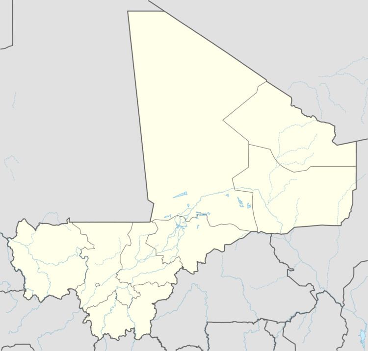
Map of Kourouba, Mali
References
Kourouba Wikipedia(Text) CC BY-SA