Postal code 591 00 Vehicle registration ΗΧx-xxxx Local time Friday 11:40 PM | Time zone EET (UTC+2) Area code(s) +30-2331-xxx-xxx Elevation 808 m | |
 | ||
Weather 4°C, Wind SW at 6 km/h, 58% Humidity | ||
Koumaria (Greek: Κουμαριά, Aromanian: Doljani) is an Aromanian village and a community of the Veroia municipality. Since the 2011 local government reform it was part of the municipality Veroia, of which it was a municipal district. The 2011 census recorded 243 residents in the village and 339 in the community. The community of Koumaria covers an area of 139.132 km2.
Contents
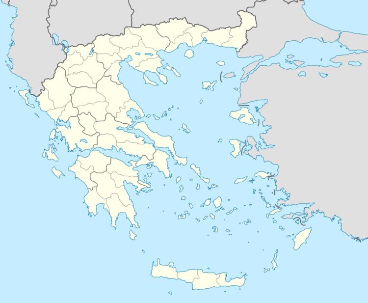
Map of Koumaria 591 32, Greece
Administrative division
The community of Koumaria consists of two separate settlements:
The aforementioned population figures are as of 2011.
References
Koumaria, Imathia Wikipedia(Text) CC BY-SA
