
Country India District East Godavari Time zone IST (UTC+5:30) Elevation 1 m | State Andhra Pradesh Talukas Kothapeta PIN 533 223 Local time Saturday 1:10 AM | |
 | ||
Weather 27°C, Wind S at 6 km/h, 87% Humidity | ||
Kothapeta or Kottapeta is a town and a mandal headquarters in East Godavari district in the state of Andhra Pradesh, India. The town is approximately 30 kilometers from Amalapuram and 45 kilometers from Rajahmundry.
Contents
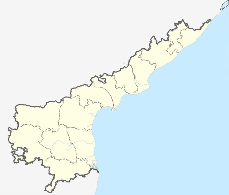
Map of Kothapeta, Andhra Pradesh 533223
Geography
Kothapeta is located at 16.7167°N 81.9000°E / 16.7167; 81.9000. It has an average elevation of 1 metres (6 ft).
Politics
Kothapeta is an assembly constituency in Andhra Pradesh. Chirla JaggiReddy is the M.L.A of the constituency.
References
Kothapeta, East Godavari district Wikipedia(Text) CC BY-SA