
Main source North Ural Basin size 6,300 km (2,400 sq mi) Mouth Kama Reservoir | River mouth Kama Reservoir Length 283 km Country Russia | |
 | ||
Discharge Average rate:
90 m/s (3,200 cu ft/s) | ||
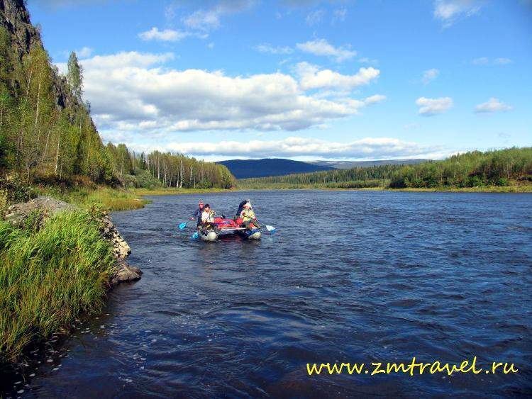
Kosva (Russian: Ко́сьва) is a river in Perm Krai and Sverdlovsk Oblast, Russia, a left tributary of the Kama River. It is 283 kilometres (176 mi) long, with a drainage basin of 6,300 square kilometres (2,400 sq mi).
Map of r. Kosva, Permskiy Kray, Russia
The river starts in the western portion of Sverdlovsk Oblast at the confluence of Bolshaya Kosva (Large Kosva), flowing from the Pravdinsky Rock, and Malaya Kosva (Small Kosva), flowing from the southern slope of the Kosvinsky Rock. It flows towards the west, and ends up in a bay of the Kama Reservoir. The Kosva is a mountain river with many waterfalls and rapids, among them the 6-kilometre (4 mi) long Tulymsky Falls. In the middle parts of the river lies the Shirokovskaya hydroelectric power plant with Shirokovskoe Reservoir. The town of Gubakha is situated by the Kosva.
Main tributaries: