
Country South Africa District Bojanala Platinum Established 1860 Area 21.12 km² Area code 014 | Province North West Municipality Kgetlengrivier Postal code (street) 0348 Population 19,499 (2011) Local time Friday 7:58 PM | |
 | ||
Weather 19°C, Wind NW at 10 km/h, 60% Humidity | ||
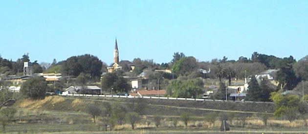
Koster is a small farming town situated on the watershed between the Orange and Limpopo Rivers in North West Province of South Africa.
Contents
- Map of Koster South Africa
- 4 bedroom house for sale in koster north west south africa for zar 695 000
- References
Map of Koster, South Africa
The town was proclaimed in 1913 and named after Bastiaan Koster, the original farm owner. Koster means "bellringer".
Town 58 km south-west of Rustenburg and 72 km west-north-west of Magaliesburg. It was founded on the farm Kleinfontein in 1913, and has been administered by a village council since January 1931. Said to have been named either after Dr Herman Jacob Coster (1866-1899), State Attorney of the South African Republic, after its surveyor, or after Bastiaan Hendricus Koster, owner of the farm Kleinfontein. The latter explanation seems most plausible.
The Elands River, the Koster River and the Mooi River have their sources near the town.