
Time zone CET (UTC+1) Elevation 411 m Local time Friday 6:54 PM | Postcode 251 68 Area 4.1 km² Population 583 (2012) | |
 | ||
Weather 11°C, Wind NW at 18 km/h, 59% Humidity | ||
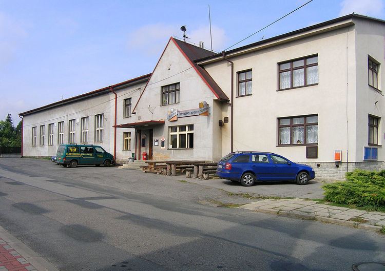
Kostelec u Křížků is a village and municipality in Prague-East District in the Central Bohemian Region of the Czech Republic. The municipality covers an area of 4.1 square kilometres (1.6 sq mi) and as of 2010 it had a population of 581. First written notice about the village is from year 922.
Map of 251 68 Kostelec u K%C5%99%C3%AD%C5%BEk%C5%AF, Czechia
References
Kostelec u Křížků Wikipedia(Text) CC BY-SA