
Elevation 457 m Local time Friday 6:53 PM | Postal code 39858 Area 32.81 km² | |
 | ||
Weather 12°C, Wind W at 18 km/h, 60% Humidity | ||
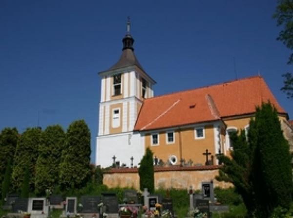
Kostelec nad Vltavou is a village and municipality (obec) in the Písek District of the South Bohemian Region of the Czech Republic.
Map of Kostelec nad Vltavou, Czechia
The municipality covers an area of 32.81 square kilometres (12.67 sq mi), and has a population of 406 (as of 27 February 2009).
Kostelec nad Vltavou lies approximately 23 kilometres (14 mi) north of Písek, 62 km (39 mi) north of České Budějovice, and 67 km (42 mi) south of Prague.
References
Kostelec nad Vltavou Wikipedia(Text) CC BY-SA