
 | ||
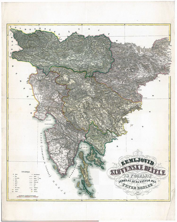
Zemljovid Slovenske dežele in pokrajin (English: "Map of Slovene Land and Provinces", commonly known as Kosler's Map), made from 1848 until 1852 during the Spring of Nations by the Carniolan lawyer and geographer Peter Kosler, was the first map of the Slovene Lands. It had the format of 50 by 55 centimetres (20 in × 22 in) and the scale of 1:576,000. It was also the first Slovene map with all the text written in Gaj's Latin alphabet. August Knorr printed the map in 1852, with the planned publication in January 1853, but the Austrian military authorities confiscated his output; the map first became available to the public only in 1861 in Vienna. Kosler was also briefly imprisoned by the Austrian authorities for this reason.
References
Kosler's Map Wikipedia(Text) CC BY-SA