
Country Belgium Area codes 016, 011, 013 Area 49.1 km² Local time Friday 3:10 PM Arrondissement Arrondissement of Leuven | Postal codes 3470-3473-3472 Website www.kortenaken.be Population 7,578 (1 Jan 2007) Governing party New Flemish Alliance | |
 | ||
Weather 11°C, Wind W at 21 km/h, 50% Humidity | ||
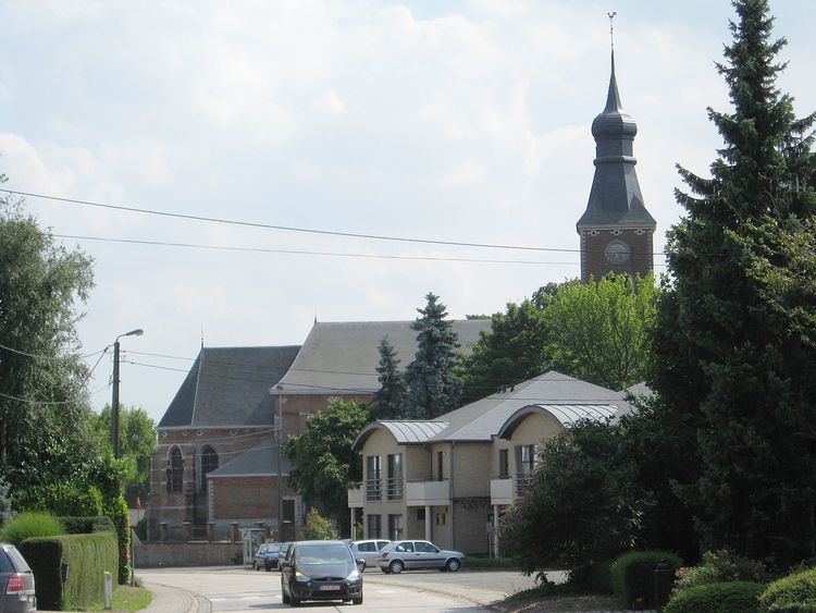
Kortenaken ( [ˈkɔrtənaːkə(n)]) is a municipality located in the Belgian province of Flemish Brabant. The municipality comprises the towns of Hoeleden, Kersbeek-Miskom, Kortenaken proper, Ransberg and Waanrode. On January 1, 2014, Kortenaken had a total population of 7,881. The total area is 49.06 km² which gives a population density of 160,63 inhabitants per km².
Map of Kortenaken, Belgium
Every year in August there used to be a three-day festival in Kortenaken, named Boerenrock, with electro music on Friday, rock music and a party on Saturday, and on Sunday music aimed at children and their parents. The final edition of this festival took place in 2016.
References
Kortenaken Wikipedia(Text) CC BY-SA