
Date established 1900s | Population 1,284 (2006 ) | |
 | ||
Easts Alicetown, Ava, New Zealand | ||
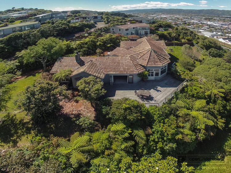
Korokoro is a suburb of Lower Hutt City situated at the bottom of the North Island of New Zealand. The suburb is located on the western hills of the Hutt Valley overlooking Petone and the Wellington harbour.
Map of Korokoro, Lower Hutt 5012, New Zealand
Korokoro was established in the 1900s by the Liberal government, and was a relatively small settlement until the Lower Hutt City Council developed the area for private housing in the 1960s.
Korokoro has a full primary school which about 150 pupils attend. The school has six classrooms and is decile 10.
Korokoro is the entrance of Lower Hutt from Wellington.
References
Korokoro, New Zealand Wikipedia(Text) CC BY-SA