
Length 50 km | ||
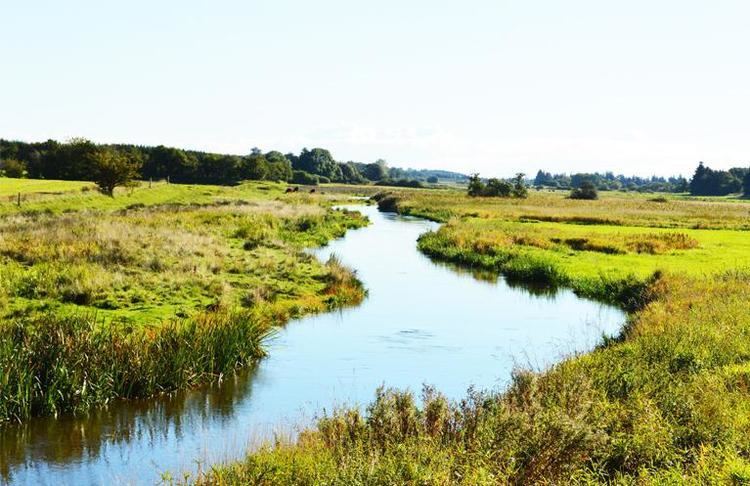 | ||
The river Kongeå (in German Königs Au) defines the border between Northern and Southern Jutland in Jutland in Denmark. It rises southeast of Vejen and Vamdrup and after about 50 kilometres (31 mi) flows into the North Sea north of Ribe.
Map of Konge%C3%A5, Vamdrup, Denmark
In the Middle Ages it was called Skodborg Å after the royal castle Skodborghus that was at a crossing south of Vejen. For centuries, there was a customs border near Kongeå that separated the Kingdom of Denmark from the duchy of Schleswig. From 1864 to 1920 it was (except for near the North Sea) the border between Denmark and Germany.
The Kongeå is mentioned (as "Skotborg river") in the Heimskringla in a description of when King Magnus I of Norway and Denmark defeated at Lyrskov Hede (Hlyrskog Heath) in 1043 a big invasion of Slavs from what is now Mecklenburg and around, who had invaded south Denmark in retaliation for a Viking attack on Jomsborg, which at the time was a Slav kingdom's main town on Wolin island.