
Country India District Medak Vehicle registration TS 15 Elevation 525 m | State Telangana Time zone IST (UTC+5:30) Website telangana.gov.in Local time Friday 9:13 AM | |
 | ||
Weather 27°C, Wind SW at 6 km/h, 61% Humidity | ||
Kondapur is a Mandal in former Medak district of Telangana, India.
Contents
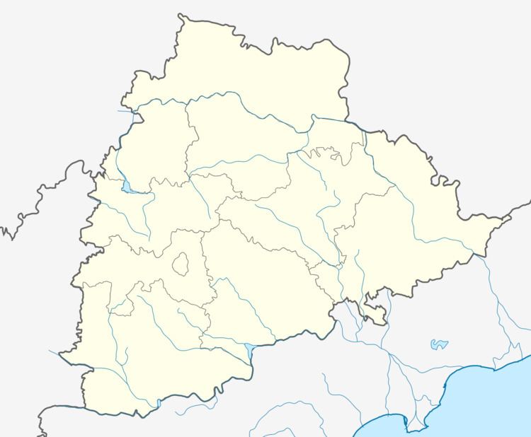
Map of Kondapur, Telangana 502306
Kondapur is a Village and Mandal in a newly formed Sangareddy district of Telangana State, India. Kondapur belongs to Sangareddy revenue division.
There is a museum (belonging to Archaeological Survey of India department) located about 1 km south of the village, Kondapur. The museum houses exhibits from an ancient mound locally known as Kotagadda (Fort Mound) which is located nearby. The remains of a highly artistic life led by the people of the early historic period are found at this museum.
Geography
Kondapur is located at 17.5614°N 78.0111°E / 17.5614; 78.0111. It has an average elevation of 525 meters (1725 feet).
Kondapur Mandal is bounded by Sangareddy Mandal towards North and Sadasivpet Mandal towards west.
REPORTERS INFORMATION
కొండాపూర్ గ్రామం లో G24TV NEWS రిపోర్టర్ ఉన్నాడు అతని పేరు మాచేపల్లి మన్సూర్ గ్రామం కొండాపూర్