
Country Russia | ||
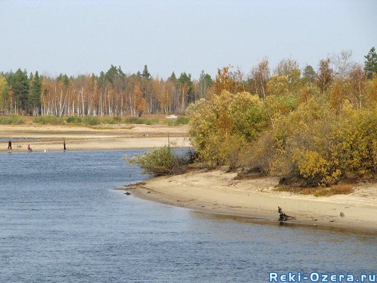 | ||
Konda (Russian: Конда) is a river in the Khanty–Mansia district of Russia. The town of Uray and the Shaimskoye oil field are along the Konda.
Map of Konda River, Khanty-Mansi Autonomous Okrug, Russia
It is a left tributary of the Irtysh. It is 1,097 kilometres (682 mi) long with a drainage basin of 72,800 square kilometres (28,100 sq mi). The river has its sources on the western edge of the West Siberian Plain. The average discharge 164 kilometres (102 mi) from its mouth is 231 cubic metres per second (8,200 cu ft/s), with a maximum of 1,220 cubic metres per second (43,000 cu ft/s) and a minimum of 36.1 cubic metres per second (1,270 cu ft/s). The river is frozen over from late October to late April. Its main tributaries are from the left: Mulymya, Bolshoy Tap, Yukonda and Kama, and from the right: Yevra and Kuma.
The Konda region, or Kondia, is one of the many provinces mentioned in the full official title of Russian tsars.