
Country Japan District Mie Phone number 059-391-1111 Population 40,289 (Nov 2012) Prefecture Mie Prefecture | Region Kansai - Tree Zelkova serrata Area 106.9 km² Local time Friday 11:08 AM | |
 | ||
Time zone Japan Standard Time (UTC+9) Weather 12°C, Wind NW at 29 km/h, 57% Humidity Points of interest Yunoyama Onsen, Mount Gozaisho, Aodaki, Sangaku‑ji Temple, Mt Shakagatake | ||
Komono (菰野町, Komono-chō) is a town located in Mie Prefecture, Japan. As of November 2012, the town had an estimated population of 40,289 and a population density of 377 persons per km². The total area was 106.89 km².
Contents
- Map of Komono Mie District Mie Prefecture Japan
- Geography
- Neighboring municipalities
- History
- Railway
- Highway
- Local attractions
- Noted people
- References
Map of Komono, Mie District, Mie Prefecture, Japan
Geography
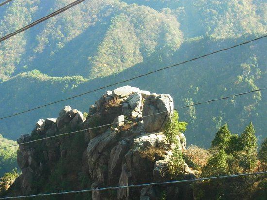
Komono is located in the mountainous region of northern Mie Prefecture, bordering on Shiga Prefecture. Parts of the town are within the limits of the Suzuka Quasi-National Park.
Neighboring municipalities
History
Komoro was the center of 12,000 koku Komono Domain under the Tokugawa shogunate, ruled by the Hijitaka clan from 1600 until the Meiji restoration of 1871. In the establishment of municipalities under the Meiji government’s reforms, it became Komoro village within Mie District of Mie Prefecture. Komoro was elevated to town status in 1928.
Railway
Highway
Local attractions
Noted people
References
Komono, Mie Wikipedia(Text) CC BY-SA