Country United States Area 13.4 km² Local time Thursday 6:10 PM | Time zone Mountain (MST) (UTC-7) Population 821 (2010) | |
 | ||
Weather 32°C, Wind NW at 10 km/h, 13% Humidity | ||
Komatke (O'odham: Komaḍk) is a census-designated place in Maricopa County, Arizona, United States. The area currently comprising the CDP had a population of 821 at the 2010 census.
Contents
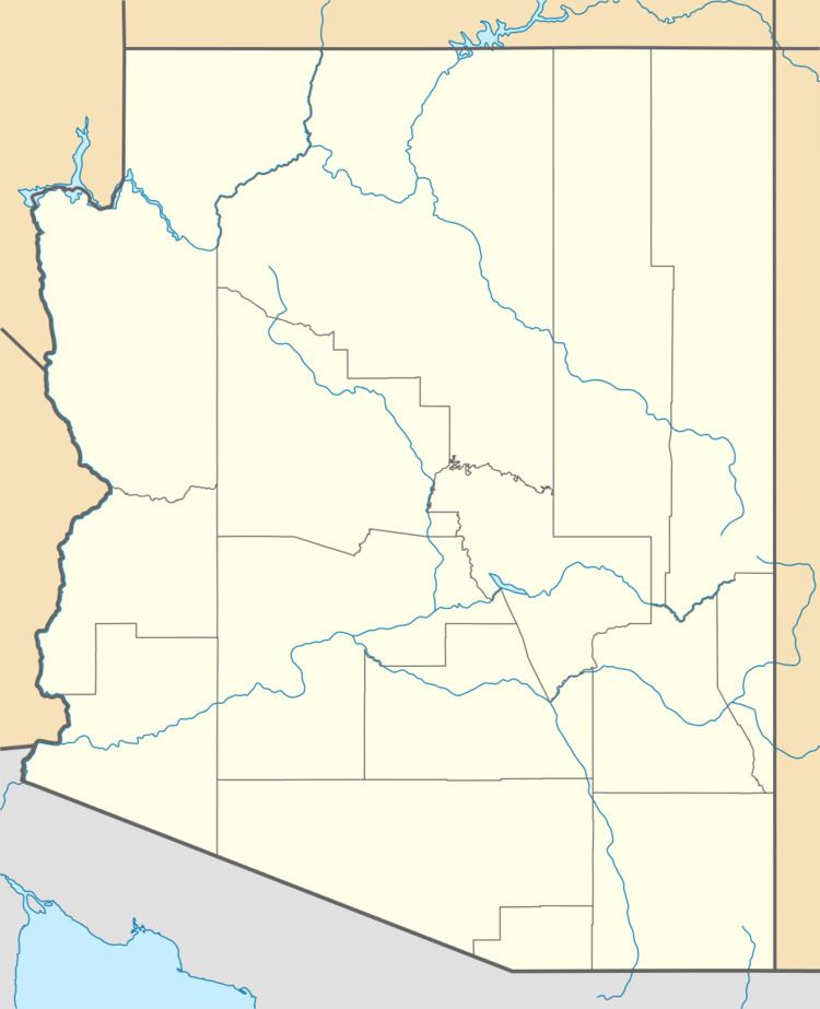
Map of Komatke, AZ 85339, USA
Geography
Komatke is located at 33°18′22″N 112°10′41″W (33.306204, -112.178107), directly south of Laveen, Arizona.
According to the United States Census Bureau, the CDP had a total area of 5.2 square miles (13.4 km²), all land.
Demographics
As of the census of 2000, there were 1,174 people, 241 households, and 218 families residing in Komatke. The population density was 227.3 people per square mile (87.8/km²). There were 256 housing units at an average density of 49.6/sq mi (19.1/km²). The racial makeup of Komatke is 1.62% White, 0.09% Black or African American, 93.60% Native American, 0% Asian, 0% Pacific Islander, and 2.30% from other races, and 2.39% from two or more races. 15.84% of the population were Hispanic of any race.
