
Country Philippines Barangays Local time Friday 5:24 AM | Founded July 1, 1936 Time zone PST (UTC+8) Province Lanao del Norte | |
 | ||
Region Northern Mindanao (Region X) District 1st district of Lanao del Norte Weather 25°C, Wind N at 6 km/h, 91% Humidity | ||
Kolambugan is a fourth class municipality in the province of Lanao del Norte, Philippines. According to the 2015 census, it has a population of 27,005 people.
Contents
- Map of Kolambugan Lanao del Norte Philippines
- Etymology
- Geography
- Barangays
- Settlement
- History being Municipality
- References
Map of Kolambugan, Lanao del Norte, Philippines
Etymology
The name “Kolambugan” was taken from a word “kolambog”, a kind of tree which grew abundantly in the area. Some present day barangays were also before called Migcamiguing and Maribojoc named also from trees abundantly found in the area.
Geography
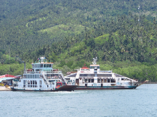
The Municipality of Kolambugan is located along the Panguil Bay area facing Ozamiz City in the Province of Misamis Occidental, 47 kilometres (29 mi) west of the capital town of Tubod. It is centrally located north-west in the province. The Municipality of Kolambugan is bounded by the Panguil Bay on the north, Municipality of Magsaysay on the south; the Municipality of Maigo on the east; the Municipality of Tubod on the west.
Barangays
Kolambugan is politically subdivided into 26 barangays.
Settlement
Originally and before Spain Invasion and later American Invasion, majority people living in Kolambugan are Maranao Tribe. In folk story from the old leaders said, during Spain occupation, some of the leaders from the interior areas of lanao del norte they usually cross the beach of municipality of kolambogan to beach of Ozamis City by boat to catch people living in other side and make them as worker (personal helper) or other said BISAYA in maranaw term. There was also a story that Mutia Family in Zamboanga del Norte and Misamis Occidental is originally came from Interior area in Lanao del Norte and even now still existing the story because of the great-great-great grandfather of their great-great grandfather of Mutia Families in Zamboanga del Norte and Misamis Occidental lifted a small one piece of book hanging in the center of the house and said to the children the forbidden and do not even touch of even open the book, and according to the claimed soon for many years when somebody open they saw writing but not familiar (Spanish language, English language), and some say that near to Arabic letters.
In long living and social process and sometimes in 1935 – 1944, under the National Land Settlement Administration (NLSA) of the Commonwealth Government, there was a Philippine House of Representative proposal to invade the Island of Mindanao to use the some land to help the Philippine Government, and one of the opposition that time is Congressman Datu Salipada Khalid Pendatun. The proposal was approved and signed by President Manuel L. Quezon, he is the president that time. The settlers are compose of people have knowledge about skill job, Agri Technician, Engineers, Farming.
The settlers are compose of different people from the Islands of Visayas and Island Luzon that has knowledge and experience of Agriculture, Technical, Farming, Lumber, Carpenter etc. The first batch transport were landed to the following Areas: • Some parts of Zamboanga • Misamis Occidental • Lanao Del Norte • Misamis Oriental • Some part of Surigao • Some part of Davao • Some Part of Cotabato
In Lanao del Norte, the transport of settlers was peacefully successful due to the smooth negotiations with the Maranao Tribal Leaders and Land Lords. As Welcome sign, the Land lords has donate piece of land (piece of land before are more than 5 hectares) to start the settlers life as beginning of life. In long run and process, the family of settler works to the land owners and as a gift since they are very good workers, the land lord gave the small piece of land as a gift. Some say that, settlers trade they made the business to the land lord just few item exchange of lands. Some family of land lords marry the daughter of their workers which result and until the majority living in Lanao del Norte and Misamis Occidental has blood in Maranao Tribe (Muslim Blood).
On the hand, the settlement has going problem and conflict between Non-Muslim and Muslim when Martial Law is implemented.
History being Municipality
On July 1, 1936, by virtue and power of the Executive Order No. 37, President Manuel L. Quezon declared Kolambugan as one of the Municipalities of Lanao Province. The Lanao province was further divided into Lanao del Norte and Lanao del Sur. Kolambugan is part of Lanao del Norte province.
In 1956, the barrios of Tangcal, Berowar, Pangao, Tawinian, Lumbac, Lawigadato, Somyorang, Bayabao, Pilingkingan, Ramain, Bagigicon, Lamaosa, Meladoc Big and Meladoc Small and Rarab, then part of Kolambugan was constituted into the municipal district of Tangcal.