
Country Armenia Population 4,420 (2011) | Time zone (UTC+4) Local time Thursday 9:36 PM Marz province Tavush Province | |
 | ||
Weather 5°C, Wind W at 11 km/h, 78% Humidity | ||
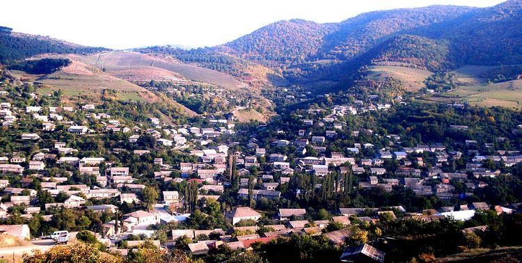
Koghb (Armenian: Կողբ ), is a major village and rural community located in the Tavush Province of Armenia, located near the town of Noyemberyan.
Map of Koghb, Armenia
Mshkavank also known as Mshakavank, with a restored church of Astvatsatsin, gavit, a 5th-6th-century Tsghakhach church, 6th-century Tvarageghtsi church and cemetery of the 12th-13th centuries are somewhere on the mountain 3–4 km southwest of the town. 1.5 km southeast is the Berdategh cyclopean fort, and also possibly in close proximity is the fort of Gharanots Gol. West of Koghb 10 km are two cyclopean forts, Zikurati and Kozmani, with Bronze Age tomb fields adjacent. 15 km west is the Patashar cyclopean fort. Northwest of Koghb are the ruins of Surb Arakel shrine in the old Arakelots village.
References
Koghb, Armenia Wikipedia(Text) CC BY-SA