
 | ||
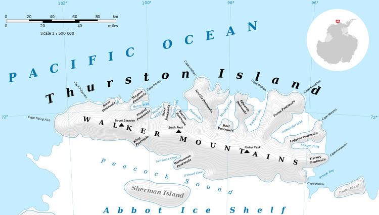
Koether Inlet is an ice-filled inlet about 18 nautical miles (33 km) long, indenting the north coast of Thurston Island, Antarctica, between Edwards Peninsula and Evans Peninsula. It was first delineated from air photos taken by U.S. Navy Squadron VX-6 in January 1960. The inlet was named by the Advisory Committee on Antarctic Names for Ensign Bernard Koether, a navigator on USS Glacier (AGB-4) in February 1960 who assisted in the charting of the Thurston Island coastline and in the accurate location of soundings.
Maps
References
Koether Inlet Wikipedia(Text) CC BY-SA