
PO box 8146 | ||
 | ||
Koekenaap is a settlement in West Coast District Municipality in the Western Cape province of South Africa.
Map of Koekenaap, South Africa
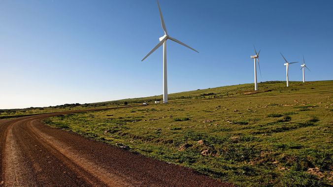
Koekenaap is situated in the Lower Olifants River Valley, between the Atlantic Ocean on the West Coast and the Olifants River inland. It is a modest three-hour drive from Cape Town and about 25km from the snoek and crayfish-filled West Coast waters.
Koekenaap is set in a patchwork landscape of farming units. Farmers produce grapes, tomatoes, beans, potatoes, beetroot, pumpkin and a variety of fruit.
References
Koekenaap Wikipedia(Text) CC BY-SA