OS grid reference SO595743 Post town LUDLOW Local time Thursday 11:33 AM Civil parish Nash | Sovereign state United Kingdom Postcode district SY8 Dialling code 01584 | |
 | ||
Weather 7°C, Wind SW at 18 km/h, 87% Humidity | ||
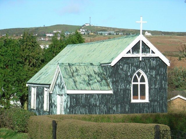
Knowle is a small village in Shropshire, England. It lies largely in the civil parish of Nash.
Map of Knowle, Ludlow, UK
It is 0.7 miles (1.1 km) south of the larger village of Cleehill (which has a primary school, two pubs and several shops) on the B4214 road to Tenbury Wells.
The football club "Clee Hill United" play their home games at Knowle Sports Ground, the highest venue in the Mercian Regional Football League at an elevation of 285-290m.
References
Knowle, Shropshire Wikipedia(Text) CC BY-SA
