
Population 77 (in 2011) Civil parish Knook Region South West Dialling code 01985 Post town Warminster | OS grid reference ST938419 Unitary authority Country England Ceremonial county Wiltshire UK parliament constituency South West Wiltshire | |
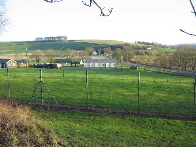 | ||
Knook is a small village and civil parish in Wiltshire, England. The village lies on the east bank of the River Wylye at the edge of Salisbury Plain, about 4 miles (6.4 km) south-east of Warminster, on the A36 road to Salisbury.
Contents
Map of Knook, UK
The parish includes Knook Camp, an accommodation centre for the Salisbury Plain military training area, part of the Defence Training Estate.
Local government
Knook, together with the parish of Heytesbury, elects a parish council called Heytesbury, Imber and Knook. Local government services are provided by Wiltshire Council.
Hillfort
The Iron Age hillfort known as Knook Castle is in the adjacent parish of Upton Lovell.
Manor
The Domesday Book of 1086 records the manor of Knook as Cunuche, and its entry mentions a woman of the manor called Leofgyth "who made gold embroideries for the king and queen and still does so".
Much of the present manor house was built in 1637. It is Grade I listed.
Parish church
The oldest parts of the Church of England parish church of St Margaret are early Norman, from the late 11th century. They include decorative carved stonework, which is notable in the tympanum to an arched doorway. St Margret's was a dependent chapelry of the collegiate church of SS. Peter and Paul, Heytesbury. A monumental inscription at St Margaret's dating from 1592 asks "Of your cheriti praye for ye soule of Iohn Morgan Gentleman and Elinor his wife with all thaire progenitors and all Christians amen".
The church is Grade II* listed. Parish registers survive from 1687 and are kept at the Wiltshire and Swindon History Centre. The benefice was united with Heytesbury-with-Tytherington in 1885, and today the church is served by the Upper Wylye Valley team.
Imperial Gazetteer entry
John Marius Wilson's Imperial Gazetteer of England and Wales (1870–1872) described Knook as follows:
KNOOK, a parish, with a village, in Warminster district, Wilts; on the river Wiley, the Old Ditch way, and the Somerset and Weymouth railway, 1 mile SE of Heytesbury r. station. Post town, Heytesbury, under Bath. Acres, 1,440. Real property, £1,342. Pop., 208. Houses, 46. The property belongs chiefly to Lord Heytesbury. Knook Castle is an ancient single ditched entrenchment, of about 2 acres; is supposed to have been originally a British village, and afterwards a Roman summer camp; and has yielded Roman coins. Traces of another ancient British village are to the N. "The site of these villages," says Sir R.Hoare, "is decidedly marked by great cavities and a black soil; and the attentive eye may easily trace out the lines of houses and the streets, or rather the hollow ways, conducting to them. Numerous tumuli and barrows are in the neighbourhood." The living is a p. curacy, annexed to the p. curacy of Heytesbury, in the diocese of Salisbury. The church, in Aug., 1866 was about to be repaired.