
OS grid reference SJ728400 Post town Newcastle, Staffs Dialling code 01630 | Sovereign state United Kingdom Postcode district TF9 Local time Thursday 9:16 AM | |
 | ||
Weather 8°C, Wind S at 16 km/h, 89% Humidity District | ||
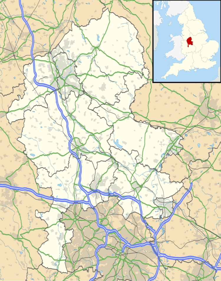
Knighton is a hamlet in north west Staffordshire, England, located in the Borough of Newcastle-under-Lyme.
Map of Knighton, Market Drayton, UK
It is surrounded to the west, north and east by Shropshire and can only be accessed by vehicle by passing through Shropshire; a public footpath running southwards, across fields, is the only way to access the settlement from the rest of Staffordshire (and staying in that county). The B5026 road runs through Knighton.
There is a public house - the White Lion.
References
Knighton, Newcastle-under-Lyme Wikipedia(Text) CC BY-SA