
Country United States GNIS feature ID 0468169 Area 92.41 km² Population 441 (2000) | FIPS code 19-92319 Elevation 387 m Local time Thursday 3:35 AM | |
 | ||
Weather -2°C, Wind S at 13 km/h, 74% Humidity | ||
Kniest Township is one of eighteen townships in Carroll County, Iowa, USA. As of the 2000 census, its population was 441.
Contents
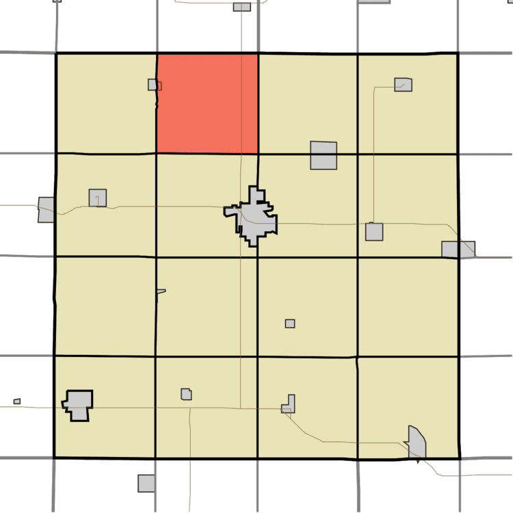
Map of Kniest, IA, USA
Geography
Kniest Township covers an area of 35.68 square miles (92.4 km2) and contains no incorporated settlements. According to the USGS, it contains two cemeteries: Our Lady of Mount Carmel and Saint Bernards.
References
Kniest Township, Carroll County, Iowa Wikipedia(Text) CC BY-SA