
OS grid reference SE733280 Sovereign state United Kingdom Postcode district DN14 Dialling code 01430 | Post town GOOLE Local time Thursday 7:52 AM | |
 | ||
Weather 7°C, Wind S at 10 km/h, 92% Humidity | ||
Knedlington is a small hamlet located in the East Riding of Yorkshire, England, and forms part of the civil parish of Asselby. It is situated approximately 1 mile (1.6 km) west of the market town of Howden and lies to the west of the B1228 road. The M62 motorway is just over 1 mile to the south-east.
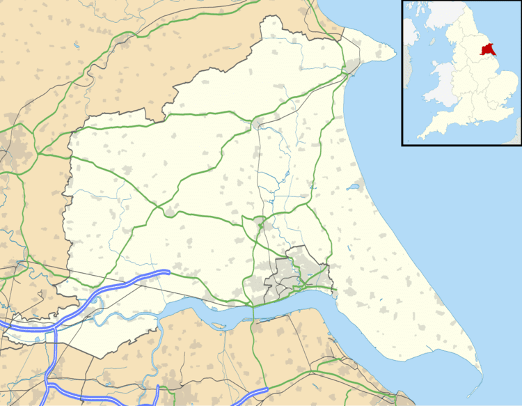
Map of Knedlington, Goole, UK
Village landmarks include Knedlington Manor, Knedlington Hall, and woodland. Knedlington Hall was protected as a Grade II* listed building in 1966.
In 1823 Knedlington was in the civil parish of Howden and the Wapentake Liberty of Howdenshire. Recorded was the hall built in the reign of Elizabeth I at the west of the village. Population at the time was 118. Occupations included a farmer and a horse dealer, and the landlord of the Anchor public house. Resident was a gentleman and two yeoman, one of whom was the chief constable and agent to a London insurance company.