
Area 16.09 km² | Postal code 696 64 Elevation 185 m | |
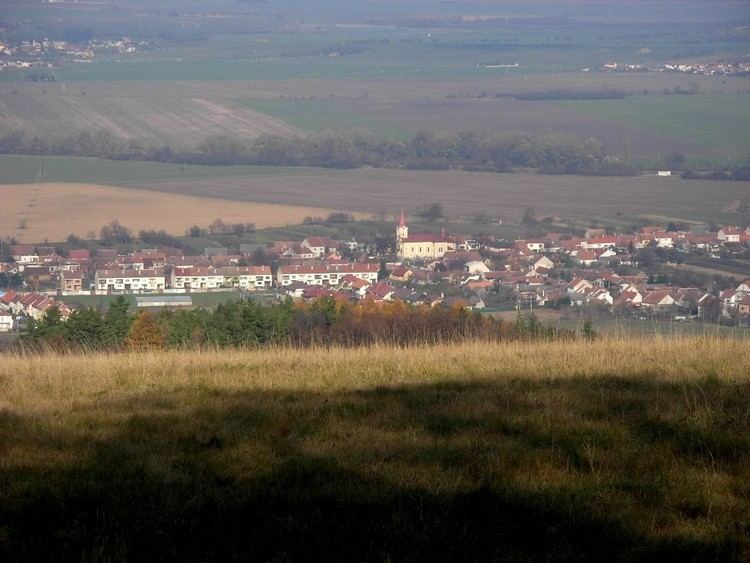 | ||
Kněždub is a village and municipality (obec) in Hodonín District in the South Moravian Region of the Czech Republic.
Map of Kn%C4%9B%C5%BEdub, Czechia
The municipality covers an area of 16.09 square kilometres (6.21 sq mi), and has a population of 1,124 (as at 1 January 2008).
Kněždub lies approximately 20 kilometres (12 mi) east of Hodonín, 67 km (42 mi) south-east of Brno, and 254 km (158 mi) south-east of Prague.
It is the birthplace of Joža Uprka, František Úprka and Antoš Frolka.
References
Kněždub Wikipedia(Text) CC BY-SA