
- summer (DST) CEST (UTC+2) | Area 5.9 km² | |
 | ||
Similar | ||
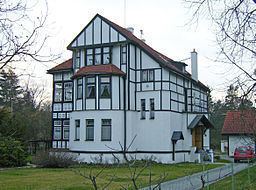
Klánovice (German Klanowitz) is a municipal district (městská část) and cadastral area (katastrální území) in Prague, Czech Republic. Originally a village (since 1878), later municipality (since 1920), it became district of Prague in 1974.
Map of 190 14 Praha-Kl%C3%A1novice, Czechia
It is located at the eastern limit of the city. It borders Prague 20 (Horní Počernice) in the northwest, Běchovice in the west, Újezd nad Lesy in the southwest and south and Prague-East District (municipality of Šestajovice) in the northeast.
References
Klánovice Wikipedia(Text) CC BY-SA