
Elevation 460 m Local time Thursday 7:46 AM | Postal code 398 19 Area 13.61 km² Population 556 (2011) | |
 | ||
Weather 3°C, Wind W at 6 km/h, 91% Humidity | ||
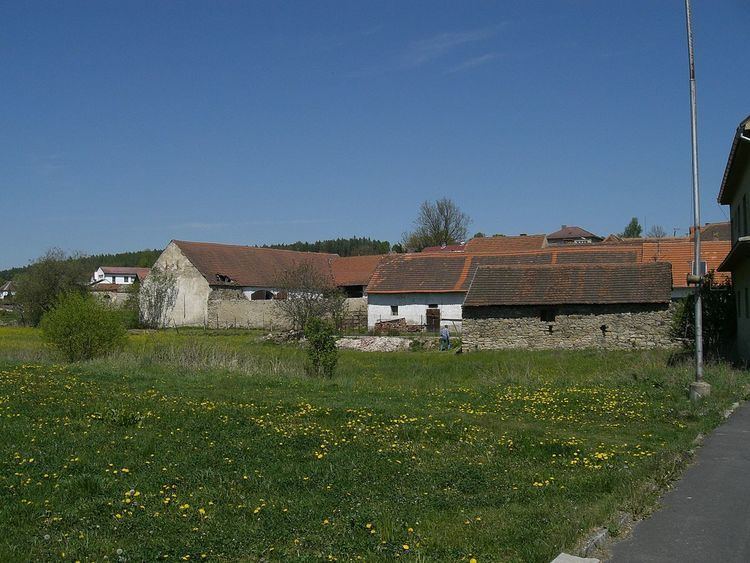
Kluky is a village and municipality (obec) in Písek District in the South Bohemian Region of the Czech Republic.
Map of Kluky, Czechia
The municipality covers an area of 13.61 square kilometres (5.25 sq mi), and has a population of 530 (as at 2005).
Kluky lies approximately 9 kilometres (6 mi) east of Písek, 42 km (26 mi) north-west of České Budějovice, and 87 km (54 mi) south of Prague. It is on the road from Záhoří to Albrechtice nad Vltavou. There is an old disused school, a church, two football teams, some pubs and several houses.
References
Kluky (Písek District) Wikipedia(Text) CC BY-SA