Area 71 ha Population 80 (2002) | Elevation 157 m Local time Thursday 7:35 AM Municipality Metlika | |
 | ||
Weather 2°C, Wind E at 2 km/h, 89% Humidity | ||
Klošter ([ˈkloːʃtəɾ]; German: Kloster) is a settlement on the left bank of the Lahinja River in the Municipality of Metlika in the White Carniola area of southeastern Slovenia. The entire area is part of the traditional region of Lower Carniola and is now included in the Southeast Slovenia Statistical Region.
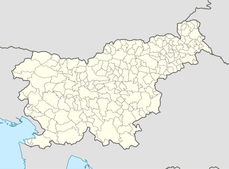
Map of 8332 Klo%C5%A1ter, Slovenia
The local church, built north of the settlement, at the confluence of the Krupa with the Lahinja, is dedicated to the Virgin Mary and belongs to the Parish of Podzemelj. It was built in the second half of the 15th century and was remodelled in the Baroque syle when it was extended in the 17th century. The belfry was added in 1828.
References
Klošter Wikipedia(Text) CC BY-SA
