
Time zone CET/CEST (UTC+1/+2) Area 86.56 km² | Postal codes 01738, 01744, 01774 | |
 | ||
Dialling codes 035055, 035202, 035058, 037326 | ||
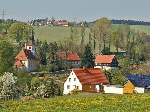
Klingenberg is a municipality in the Sächsische Schweiz-Osterzgebirge district, in Saxony, Germany. It was formed on 31 December 2012 by the merger of the former municipalities Pretzschendorf and Höckendorf.
Contents
Map of 01774 Klingenberg, Germany
Geography
The municipality is located 20 kilometers south-west of Dresden and 10 kilometers west of Dippoldiswalde.
Klingenberg consists of 11 subdivisions: Beerwalde, Borlas, Colmnitz (including Folge), Friedersdorf, Höckendorf (including Edle Krone), Klingenberg, Obercunnersdorf, Paulshain, Pretzschendorf, Röthenbach and Ruppendorf.
Transport
Klingenberg is located along Dresden–Werdau railway, having two stations within its limits: Klingenberg-Colmnitz (located in the boroughs of Klingenberg and Colmnitz) and Edle Krone (located in the village of Höckendorf). At Klingenberg-Colmnitz station two narrow-gauge railway lines used to branch off until the early 1970s, connecting also the villages of Colmnitz and Pretzschendorf to the rail network.