
Quadrant NW Sector North Elevation 684 m | Ward 3 Area 165 ha Population 4,789 (2012) | |
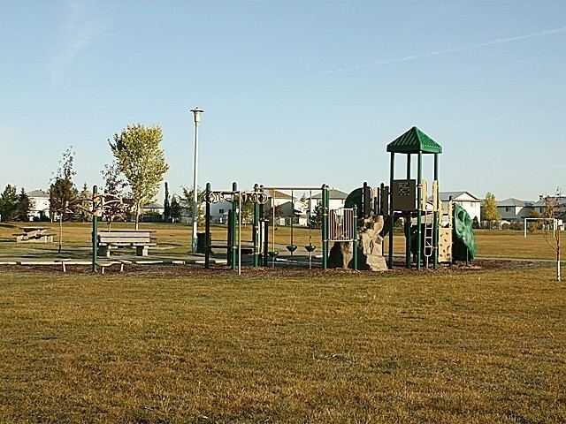 | ||
Klarvatten is a residential neighbourhood in north Edmonton, Alberta, Canada. Its location gives residents good access to CFB Edmonton.
Contents
Map of Klarvatten, Edmonton, AB, Canada
It is bounded on the south by 167 Avenue, on the east by 82 Street, and on the west by 91 Street. To the north is undeveloped rural land located within the city limits.
Development of the area began in the late 1980s, with three out of four residences being built during the 1990s. Most of the resiences in the neighbourhood are single-family dwellings (87%), with some row houses (11%) and duplexes (2%). Substantially all (97%) of the residences in Klarvatten are owner-occupied.
Demographics
In the City of Edmonton's 2012 municipal census, Klarvatten had a population of 7003478900000000000♠4,789 living in 7003157800000000000♠1,578 dwellings, an 8.3% change from its 2009 population of 7003442300000000000♠4,423. With a land area of 1.65 km2 (0.64 sq mi), it had a population density of 7003290240000000000♠2,902.4 people/km2 in 2012.
Klarvatten has an average household income that is higher than the average household income for Edmonton.