
Location Antarctica Highest elevation 465 m (1,526 ft) | Length 30 km (19 mi) Population Uninhabited | |
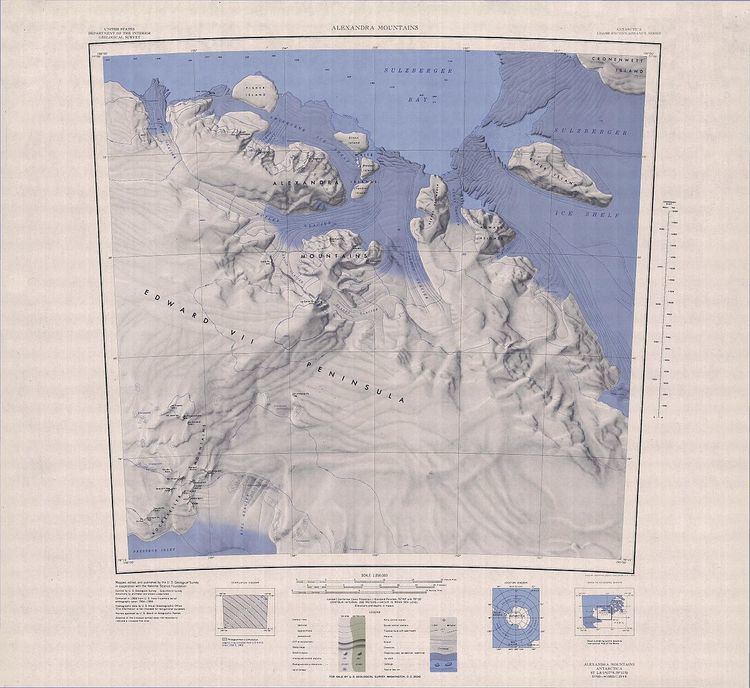 | ||
Kizer Island is an ice-covered island about 30 kilometres (15 nmi) long, lying 20 kilometres (10 nmi) southwest of Cronenwett Island at the west end of the Sulzberger Ice Shelf off Saunders Coast, Marie Byrd Land, Antarctica. It was mapped from surveys by the United States Geological Survey (USGS) and from U.S. Navy air photos (1959–65), and was named for Lieutenant T.L. Kizer, U.S. Navy, a helicopter pilot on the USS Glacier (AGB-4) who sighted the island from the air on January 26, 1962.
Map of Kizer Island, Antarctica
References
Kizer Island Wikipedia(Text) CC BY-SA